




AI
PhilSA uses AI and satellites to map flood-hit areas
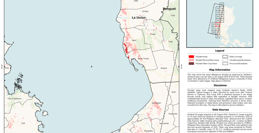
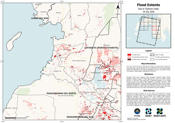
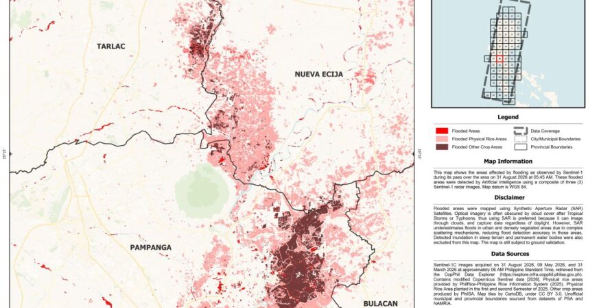
The Philippine Space Agency (PhilSA) has produced flood extent maps covering parts of Regions 1, 2, 3, 4A, 4B, the Cordillera Administrative Region (CAR), and the National Capital Region (NCR), using artificial intelligence (AI) and satellite imagery to support disaster monitoring following heavy rains from the enhanced Southwest Monsoon. The maps, captured on August 31 […]
info-aitimes-phgmail-com
- September 2, 2026
- 0 Comments
- 70 Views
-